
Kipregel
Kipregel is a geodetic company with more than 20 years of experience in providing professional services to private and corporate clients. Over the years we have built a reputation as a reliable partner working with precision, attention to detail and modern equipment that guarantees accurate results for every task.
Our team specializes in a wide range of activities – geodesy, cadastre, investment design, staking out, vertical planning, preparation of development plans, CRNI, tachymetric surveys, GPS measurements and complete technical documentation. We work according to all regulatory requirements so that our clients receive correct, legally compliant and professionally executed services.
We use high‑precision total stations, next‑generation GPS receivers, laser measuring systems and specialized software for geodetic data processing. This allows us to execute both standard tasks and complex engineering projects requiring maximum accuracy.
Clients do not need to know terms such as development plan, cadastre, staking out, tachymetric survey, CRNI, GPS or tolerance certificate. Our team is fully familiar with all procedures and legal requirements and handles the entire administrative process – from initial research to final approval.
Kipregel works with investors, construction companies, architects, designers, legal entities, government institutions and private clients. For every project we offer an individual approach, professional consultation and full transparency.
Our mission is to provide geodetic services with high accuracy, speed and reliability while saving time, resources and administrative effort for our clients.
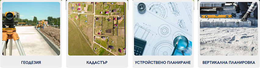
Kipregel offers a complete portfolio of geodetic and cadastral services suitable for residential, industrial, infrastructure and investment projects:
- Geodetic surveys – detailed, working, engineering
- Cadastre services – sketches, combined sketches, CRNI, updating cadastral data
- Staking out buildings, fences, property boundaries and engineering structures
- Development plans (PUP) – PRZ, PZ, PUP‑PRZ
- Vertical planning and leveling
- Tachymetric surveys and GPS measurements
- Parcel and regulation plans
- Investment design – geodetic part
- Tolerance certificates and technical documentation
- Consulting and assistance with administrative procedures
All services are performed with modern equipment, certified instruments and professional software ensuring maximum accuracy.
Geodesy • Cadastre • Investment Design
Sofia, “Reduta” district, Tsarichina St. 1
Phone: +359 887 542 539
Email: geo@kiprigelbg.com
Website: kipregelbg.com
• Geodetic services
• Cadastre and cadastral procedures
• Surveying and staking out
• Investment design
• Vertical planning
• Parcel plans
• Regulation plans
• Consulting and technical documentation